iPhoneAddict Apps
  • Actualités
  • Accueil Apps
  • iPhone
  • iPad
  • Universelles
  • Mac
  • Apple TV
KG KultureGeek
App
iPhone / iPad Télécharger iAddict v5 Mac Télécharger iAddict Mac
  • Actualités
  • Accueil Apps
  • iPhone
  • iPad
  • Universelles
  • Mac
  • Apple TV
  • Archives keynotes
  • Firmwares & iTunes
  • Contactez-nous
  • Comparateur de prix
  • KultureGeek
Accueil » Liste des Apps » Apps Universelles » Navigation » TcpGPS
L'application n'est plus disponible sur l'App Store français
1.1.1 iOS €Gratuit Aplitop 0 0 INTRODUCTION This application allows to the user to make surveys using integrated GPS with its nominal precision, in a fast and easy way. It can be used by surveyors and other technicians for surveys consisting on measuring lots, paths, crops, pipes,...
TcpGPS

TcpGPS

iOS Universel / Navigation

Gratuit
Obtenir sur l'App Store
Facebook X E-mail

INTRODUCTION
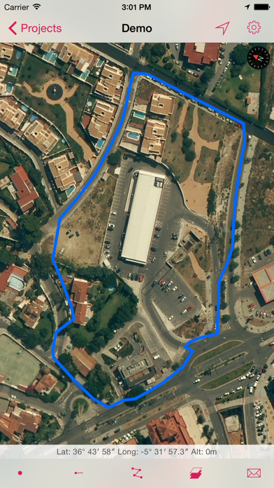
This application allows to the user to make surveys using integrated GPS with its nominal precision, in a fast and easy way.
It can be used by surveyors and other technicians for surveys consisting on measuring lots, paths, crops, pipes, electrical lines, urban furniture...
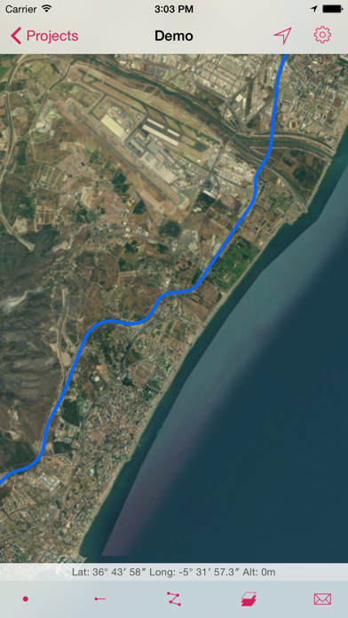
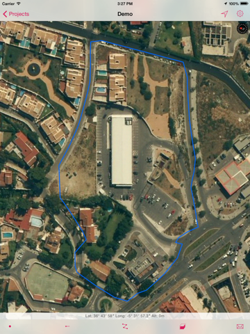
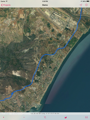
Apple Maps is used as background, and can be represented in standard, satellite, hybrid and relief modes. Geographic or UTM projected coordinates are shown at all times.

POINT SURVEY
The application allows data collection of single points, whose coordinates are got from the GPS, showing the estimated precision by a circle, as is usual in location-based programs.
The points are automatically numbered, recording date and time, and can be separated in different layers. User can also enter point codes, choosing them from a quick list.

CONTINUOUS SURVEY
It is also possible to perform a continuous survey, recording vertices automatically by an interval of time, distance or height difference.
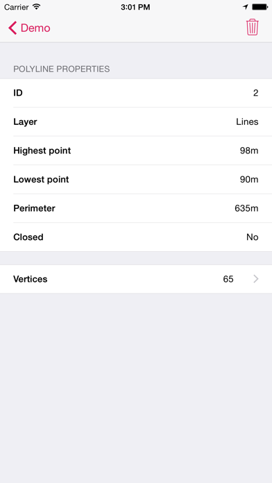
At any time you can view the polyline data, such as minimum and maximum heights, length and area. Vertex information can be displayed as well.
You can work with multiple layers, with different names and colors.

RESULTS
Survey can be exported to a KML file, that can be sent by email from the app. This file can also be imported by TcpMDT and other CAD and GIS applications.

SETTINGS
Editing preferences lets you to change the appearance of map, points and lines captured. It also sets parameters for data collection, information displayed in real time and others.

REQUIREMENTS
• Operating System: iOS 7 or higher
• Integrated GPS
• Internet access

En voir plus...

Quoi de neuf dans la dernière version ?

This app has been updated by Apple to display the Apple Watch app icon.

∙ Fixed bugs
  • Screenshot #1 pour TcpGPS
  • Screenshot #2 pour TcpGPS
  • Screenshot #3 pour TcpGPS
  • Screenshot #4 pour TcpGPS
  • Screenshot #5 pour TcpGPS
  • Screenshot #6 pour TcpGPS

Note

(0 note)

Détails sur l'application

Version
1.1.1
Taille
3.5 Mo
Version minimum d'iOS
7.0
Dernière mise à jour
24/04/2015
Publié par
Aplitop

Newsletter App Store

Recevez chaque jour les meilleures promos

Actualité Apple

Image iPhone : Apple a capté 49 % des revenus de smartphones au 2e trimestre, un record
iPhone : Apple a capté 49 % des revenus de smartphones au 2e trimestre, un record
Image L’iPhone Air 2 aurait une Dynamic Island plus petite et d’autres nouveautés
L’iPhone Air 2 aurait une Dynamic Island plus petite et d’autres nouveautés
Image iPhone 18e : les 9 Go de RAM se confirment un peu plus
iPhone 18e : les 9 Go de RAM se confirment un peu plus
Image Apple met à jour Shazam avec des autocollants iMessage pour l’album petal d’Ariana Grande
Apple met à jour Shazam avec des autocollants iMessage pour l’album petal d’Ariana Grande
iPhoneAddict Apps

Le catalogue iPhoneAddict pour suivre les nouveautés, mises à jour et baisses de prix de l’App Store.

Apps

Toutes les apps iOS iPhone iPad Universelles Mac Apple TV

iPhoneAddict

Actualité Apple Archives keynotes Contact À propos KultureGeek

Suivez-nous

©2009-2026 i2CMedia. Tous droits réservés.