GeoTagster
macOS / Photo et vidéo
Simple, robust and super fast geotagging using you GPX files.
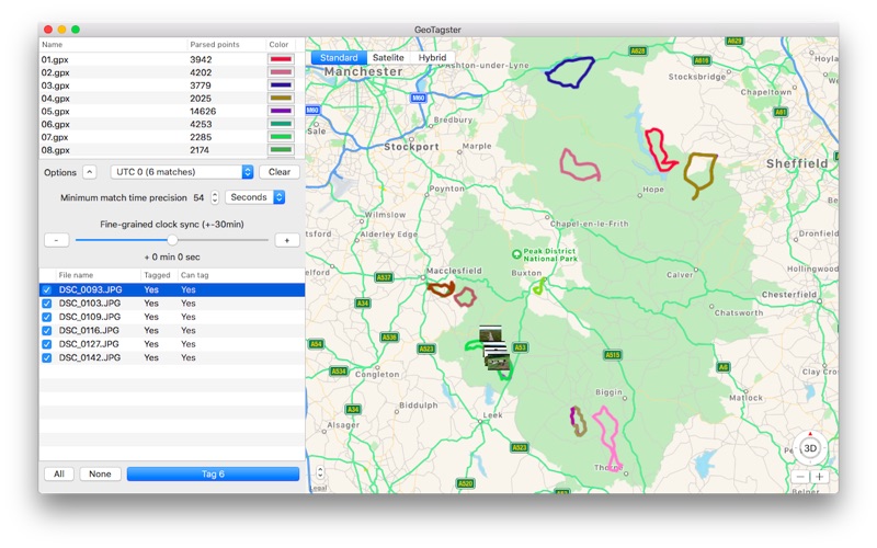
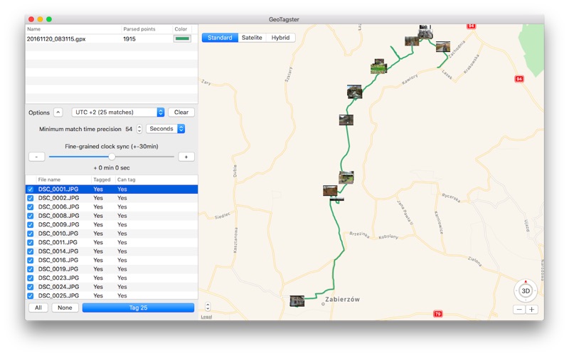
Load your photos and your GPX files and enjoy fast automatic tagging with latitude, longitude and altitude (if available).
View your GPS route on the built in map and verify if the time offset is correct, adjust the time offset if your camera is not synchronised with your gpx track.
More features are planned! Please add your comments and feature requests.
The PRO version includes tagging RAW files, manual time offset correction and manual time difference tolerance.
En voir plus...
Quoi de neuf dans la dernière version ?
- Overwritten photos now retain the creation/modification date.
- Adds a new "Export GPX" option for exporting a GPX file from a set of tagged photos.
- Adds missing UTCs